-
2010 July 10
Company Description
Topo maps for BlackBerry for outdoor sp.
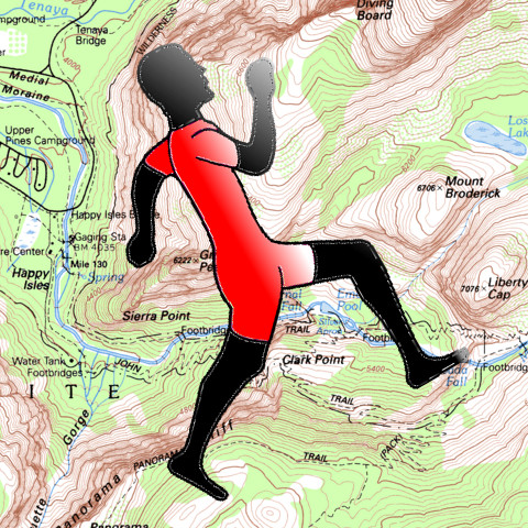
TopoSports offers fully offline, GPS accurate, high quality Topo maps covering entire USA(Alaska coming soon), and Canada(NEW!!) for outdoor sports enthusiasts - bikers, hikers etc. The app gives you access to 65000+ quads that cover almost all of USA and Canada. US data is derived from USGS 1:24K DRGs . Canada data is derived from NRCan 1:50K Toporama DRGs. The app also provides offline access to Geographic Names data for downloaded quads imported from GNIS/NRCan. Demo video at: http://www.toposports.com/main/allvideos (Verizon users - GPS features work on BlackBerry Tour™, Bold™ and Storm™). WIFI / 3G recommended. If you have WIFI support in your phone, use the WIFI network option of app to download maps quickly. From our app use (Network Options / Select Wifi. Click Diagnose.). Each map is 5MB to 10 MB in download size. Download tips at: http://www.toposports.com/main/downloadtips - Download topo maps of any quad in USA/Canada for offline usage. - Download 1:24K scale maps for US. For Canada the maps have 1:50K scale. - Maps projected for WGS84 datum and are GPS accurate for all mobile devices. - Search for maps by feature name. - Search for nearby Quads(NEW!). - Popular quads are also provided as featured quads for your convenience. - Seamless mosaicing of quads - Distance/Bearing tool - Create custom way points either using your current location or via manual selection. - Geographic names layer for each quad - Search POIs/Way points offline. - Search for created way points/POIs by name. - Pan/zoom/locate yourself - Record GPS tracks - Supports both built in GPS and BlueTooth - View tracks overlay - Bird's eye overview for your tracks. - Live track animation - Track analytics/stats - Distance covered - Avg speed - Max speed - Time taken - Pace (time taken to cover a mile/km) - Calories burned - Vertical ascent/descent - Export tracks in GPX format to SDCard. - Viewable on Google earth.
-
Manufacturer:
Mobile -
Formed:
July 10, 2010 -
Company Website:
-
Company E-mail:
-
Company Address:
-
We recognize our sponsors starting at $1 per entry.
Learn more at https://www.ithistory.org/benefits

